Coastal Erosion and Sustainable Protection
The plight of dune-fronted golf courses
3D Models of Coastline at the Royal Aberdeen Golf Course - Click Here
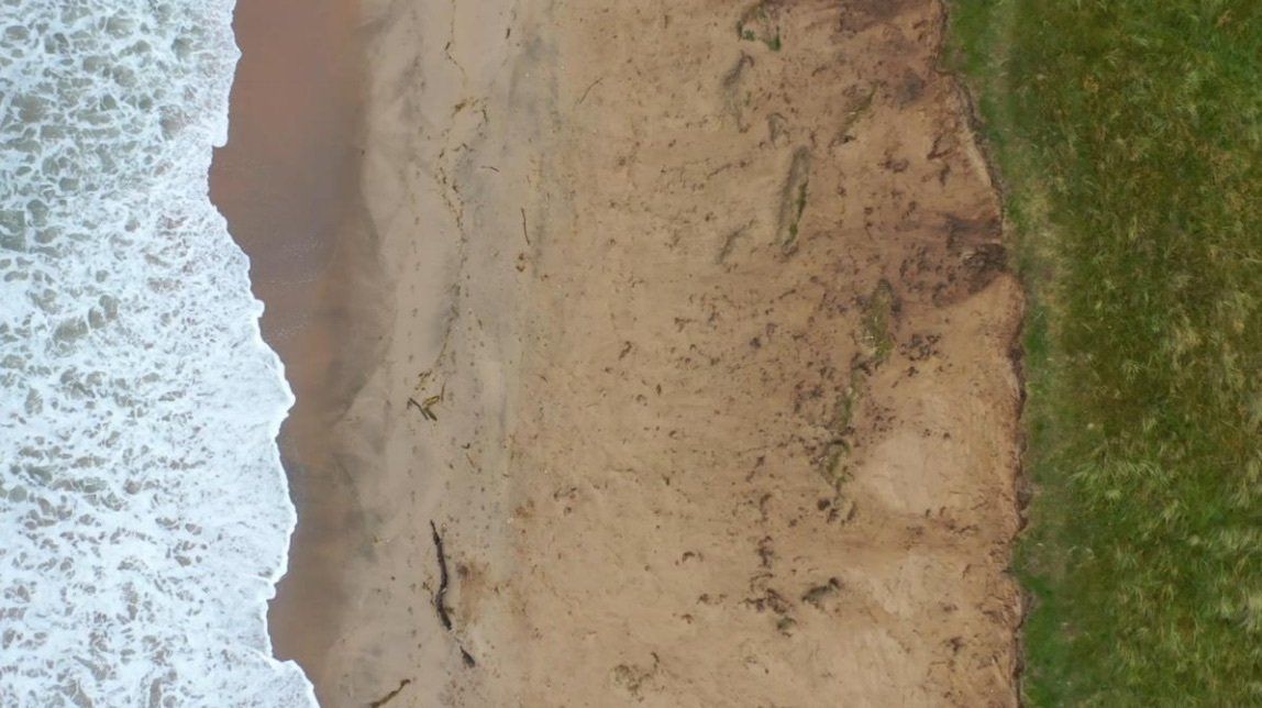
This project started in early 2020 to use low-cost drone monitoring and mapping to (a) monitor, map, and characterise coastal erosion at a number of coastal dune-fronted golf courses around the UK, and (b) to monitor a novel approach to sustainable coastal protection using low-cost brash bales.
The project is the basis of a new PhD Studentship at the University of Aberdeen supported by QUADRAT and also Siskin Asset Management Ltd.
To date the project has been undertaking some preliminary work on coastal golf course assets along the Aberdeen coast at the edge of the Royal Aberdeen Golf Course with some trial drone flights and aerial photography. The stereo-photography has initially been used to generate DTMs, DSMs and also a series of short fly-bys for illustrative visualisation.
The PhD work will subsequently be developed to consider the use of drones for spatio-temporal monitoring and modelling at least three coastal sites around the UK, undertaking a detailed investigation of the coastal processes active at each coastal location, and finally by monitoring the installation and placement of sustainable coastal protection installed at each site.
The research work will begin in September 2021 and will continue over three seasons at sites where dune golf courses are currently exposed to rapid coastal erosion as a result of climate change. Aerial overflights will monitor both the coastal protection and the site. Each coastal protection platform installed will also carry a number of sensors to record information about the platform over time e.g. distortion and stresses. Coastal modelling will be undertaken to understand the coastal sediment budget as well as the wave climate. The project will be completed by 2024.
Brash Bale (Ray Lawrenson)
UAV aerial photograph (DroneLite)
3D Model (Andrew Smith)


